
Subject Help
Contact the Library Teaching and Engagement Team for help and advice on how to find and use information sources for your subject.

|
This guide will help you find relevant information for your research. Use the tabs on the left to find maps, databases and other useful resources. |

 Effortless, no-code access to the power of Google Earth Engine.
Earth Blox gives you commercial access to Google Earth Engine’s entire catalogue of satellite imagery and geospatial datasets, and you don’t need to be an expert in Python or JavaScript to use it.

Digimap is a collection of EDINA services that deliver maps and geospatial data from a number of national data providers, including Ordnance Survey and the British Geological Survey. Data is available either to download to use with appropriate application software such as GIS or CAD, or as maps generated by Digimap online. The Library subscribes to the entire Digimap package.
 The British Geological Survey has a wide range of datasets, including Soil Maps, Groundwater Levels and 1: 50 000 scale geology OpenGeoscience is a free service where you can view maps and download data, scans, photos and other information.
More information at OpenGeoScience


Box of Broadcasts (BoB) is a streaming service covering the last 25 years of British free to air channels. You'll need to create a Box of Broadcasts account with your Lancaster email address before accessing.
 The MARIO (Maps & Related Information Online) Online Mapping site from Lancashire County Council contains many Local Maps and Datasets, zoomable in browser and accessable without logging in.
Along with the wide selection of historical and aerial mapping it also holds environmental, heritage and transport datasets reusable under the Open Government Licence
Access at https://mario-lancashirecounty.hub.arcgis.com/

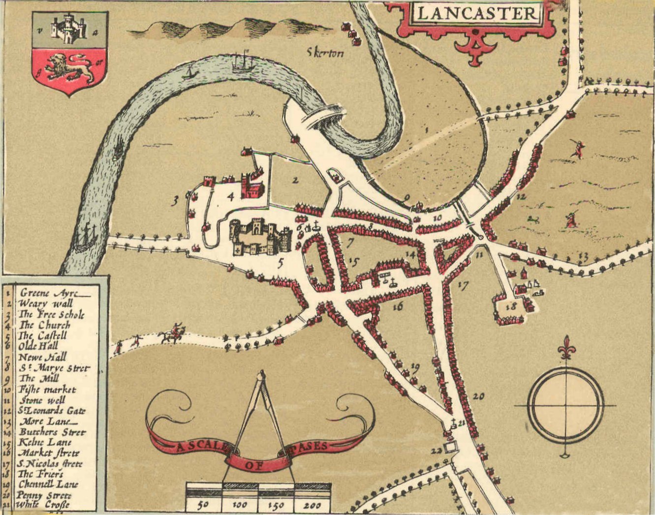
 The University Library map collection is located on A Floor. Ask Library staff for assistance finding the maps and atlases you need. Thematic atlases may be shelved with the subject concerned e.g. most historical atlases are kept in the History section.